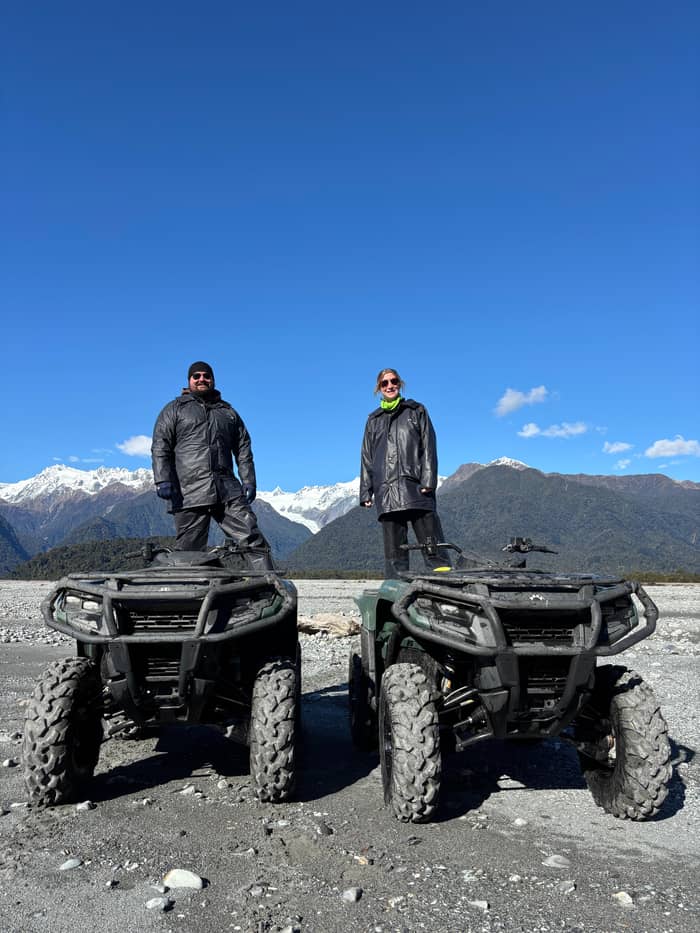
Gentlest
Guided lookout walk
Valley floor, small group
- Length3 hours
- Rating4.8 from 169
- Pricefrom $65
Explore the stops
Map of 11 stops
Choose a route and tap a pin or stop to see its note and open it in Google Maps.
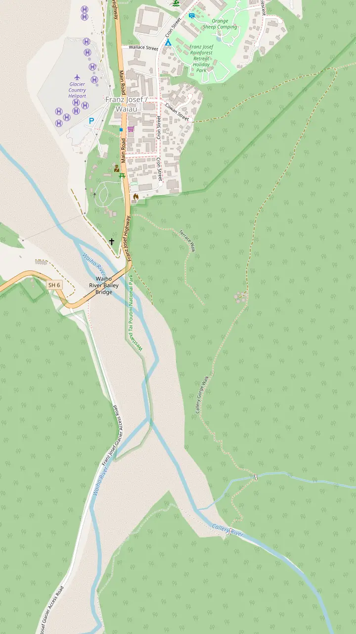
The village sits only a few kilometres from the glacier.
Google MapsTerrace Walk is 1.8 km return and takes 30 min.
Google MapsThe Tatare Tunnels Walk begins at the end of Cowan Street.
Google MapsThe Callery Gorge Walk is 5.2 km return and takes 1 hr 20 min.
Google Maps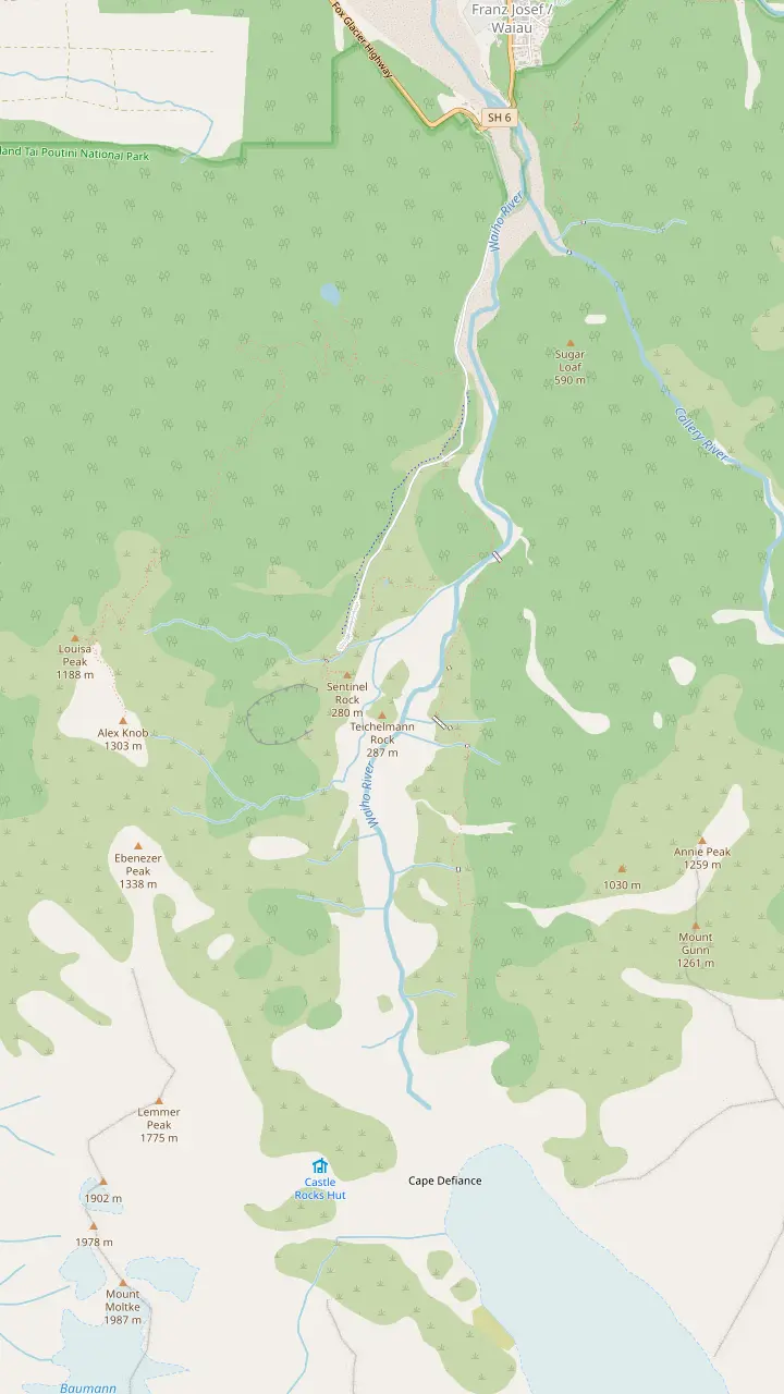
Alex Knob Track starts 2 km along the glacier access road.
Google MapsLake Wombat Walk is 3.8 km return and takes 1 hr 30 min.
Google MapsPeters Pool Walk is 1.1 km return and takes 25 min.
Google MapsSentinel Rock Walk is 900 m return and takes 20 min.
Google MapsThe Douglas Walk is 3.9 km return and visits the historic Douglas Bridge.
Google MapsIn around an hour Roberts Point Track reaches Hende's Hut, a sheltered lunch spot.
Google MapsRoberts Point is a lookout only, with no access onto the glacier.
Google Maps© OpenStreetMap contributors, map data
The glacier ends in rainforest near sea level, a few minutes from a village with a helicopter base on the main street. This page sorts the walks, flights and guided hikes.
Editorial team, franzjosefquadbiking.com · Updated November 6, 2026 · Read in 8 min
In brief
Franz Josef Glacier is a river of ice that spills out of the Southern Alps and ends in rainforest close to sea level.6 That is the unusual part of the picture. Some glaciers end in bare rock and cold air, but this one finishes among tree ferns, and that contrast defines the valley. The Māori name for the glacier, Kā Roimata o Hine Hukatere, belongs to the ice itself.
The terminal face, where the ice stops, lies less than 300 metres above sea level and is just one of three that come this close to a coastline.1 The village that serves the valley sits only a few kilometres from the ice, at the foot of a World Heritage area.7 Distance helps here: a visit can be as short as an hour from the main street, with no overnight gear and no long drive.
The park itself was established in 1960 and forms part of the Te Wāhipounamu South West New Zealand World Heritage Area.8,9 In the last ice age the glacier reached far further, as a huge ice sheet that ran beyond today's coastline.10 Standing in the valley, you are looking at what is left of that sheet, and the bare rock and young forest around you show how far it has drawn back.
Ways compared
| Way | Time | What you get | Limit |
|---|---|---|---|
| Sentinel Rock Walk | 20 min return4 | Valley and retreat panels5 | Stay behind the barrier16 |
| Glacier viewpoint walk | 30 min return20 | A view of the face20 | Suited to children20 |
| Guided lookout walk | 3 hours | A guide, up to 10 guests | From $65 |
| Flight with landing | 25 minutes | 10 minutes on the snow | Weather dependent |
| Glacier heli-hike | 4 hours | About 2 hours 15 minutes on the ice | Moderate fitness |
Prices are from prices as listed; check the booking page for dates and group sizes.
The valley keeps a clear record of the retreat, written in rock. Sentinel Rock had only just emerged from the ice in 1865, and until 1909 the ice still pressed against Harper Rock, just in front of it.14,15 Since 1909 the glacier has pulled back over 3 km.17 Those dates give you a ruler: when you stand at the rock, you are standing where the ice once sat, and the distance back to today's face is easy to feel.
The Department of Conservation puts information panels at the Sentinel Rock viewpoint, and they show photos of the glacial retreat.5 Reading them with the real valley spread out in front of you is the cheapest and clearest lesson in the whole place. Rock that the ice scraped smooth sits beside shrub and young forest, and the line where one meets the other tells the story better than a page of figures.
Where the glacier dumped a layer of rubble over the bedrock, plants moved in quickly, and young rata and kamahi forest appears after 100 years.18 Bare scraped rock recovers far more slowly, with lichens and mosses first and shrubs later. The result is a patchwork you can read on a short walk, from raw stone to shrub to forest, and it shows how the valley came to feel so unfinished, restless and alive.
From the village you drive south over the Waiho River bridge and turn left after the bridge onto the Franz Josef Glacier Access Road.11 The surface is unsealed, but it is suitable for cars, campervans and buses.3 The road runs 4 km to a car park at its end, and most of the walking tracks start there.2 Keep left and keep your speed down, as the Department of Conservation asks.
Parking at the glacier is paid. The Department of Conservation charges NZ$2.50 per half hour or NZ$20 a day, and parking is free if you arrive and leave within 10 minutes.12 The machines take cards and not cash.22 There are flush toilets at the car park and none further up the valley, so use them before you set off.13 No rubbish bins are provided in the valley, so carry out whatever you bring in.23
If you prefer not to drive, Te Ara a Waiau is a walkway and cycleway that runs from the township to the glacier car park, 8.7 km return, and the list gives 2 hr on foot or 1 hr by mountain bike.24 That suits a morning when the weather is settled and you want the valley to yourself. Take warm clothing either way, since a cold down-draft off the glacier is normal in the valley.25
Match your day
Pick the line closest to your plans and the answer sits beside it
If I have an hour and a small budget
Walk Sentinel Rock
If I want to be with a guide on foot
Book the lookout walk
It lasts 3 hours for up to 10 guests, with a live guide.
If I want to land on snow
Choose a flight
The listed flight has a 10-minute landing.
If I want to walk on the ice
Take the heli-hike
About 2 hours 15 minutes of guided walking is listed.
If I am an experienced hiker
Try Alex Knob
It gives the best views of the glacier without a helicopter flight.21
Three ways onto or near the ice
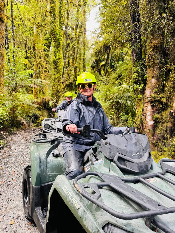
Gentlest
Valley floor, small group
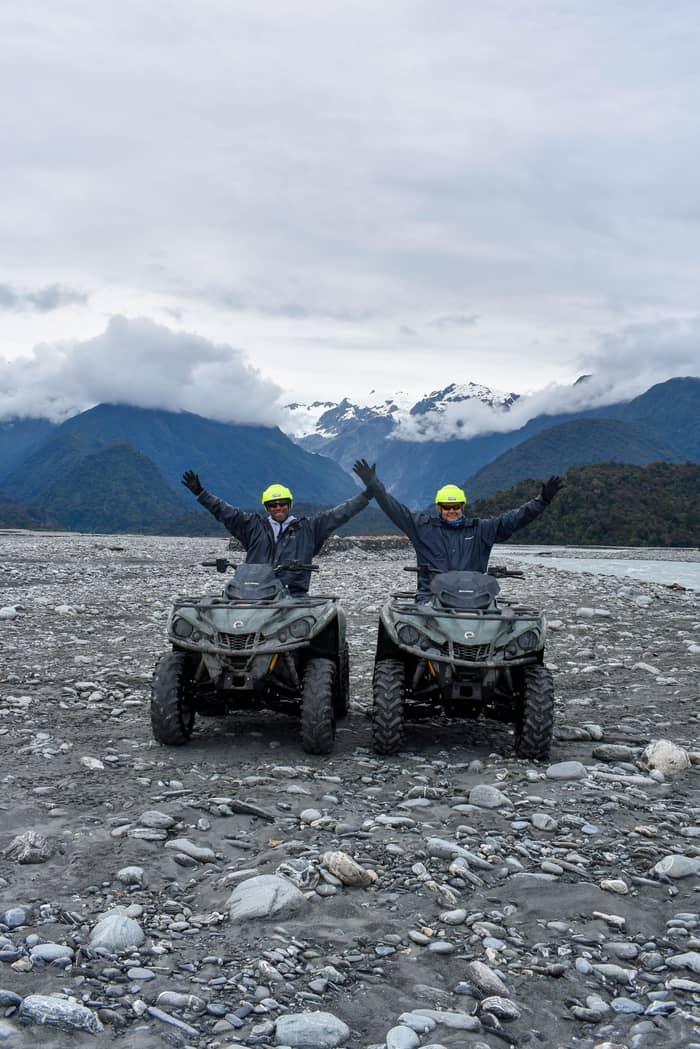
Quickest to the ice
Snow or alpine landing
Longest on the ice
Helicopter, then on foot
The cheapest way to see the glacier is on foot. Sentinel Rock Walk is 900 m return and takes 20 min, and the Department of Conservation grades it an easy short walk.4 Peters Pool Walk is 1.1 km return, takes 25 min and is wheelchair accessible.19 The regional tourism group also lists a short walk to a glacier viewpoint at 30 min and 1.7 km return, suitable for children.20 None of these walks takes you onto the ice.
Franz Josef Glacier tours start on the valley floor with a guided walk, which adds explanation and safety. The Glacier Lookout Guided Walk is listed from $65, lasts 3 hours and is limited to 10 participants. Guided eco hikes up both glacier valleys are described as a way to get close to the glacier without walking on the ice.39 It is a gentle choice for a family, or for anyone who wants someone else to read the river and the weather.
To reach the ice itself you need a helicopter. A flight with a snow or alpine landing runs 25 minutes with a 10-minute landing and is listed from $221. Guided tours that put you on the glacier by helicopter provide all the equipment and expertise.40 The heli-hike is listed from $530, takes 4 hours and carries groups of up to 11. Flights are weather dependent, so keep a spare day.
Price your group
Type your party size and compare four ways to spend the day
Compare 4 side by side
Type your party size and compare four ways to spend the day
≈
View≈
View≈
View≈
ViewCurrency conversion uses the ECB reference rate on GetYourGuide from-prices. The exact price is displayed when you book.
A morning at the ice
Village
Drive south over the bridge and turn left onto the Franz Josef Glacier Access Road.11
On the road
The unsealed road takes cars, campervans and buses to the car park.3,2
Car park
Parking costs NZ$2.50 per half hour, and there are no toilets further up the valley.12,13
Short walk
A 900 m return climb to a viewpoint with photos of the retreat.4,5
At the rock
The ice had only just left this rock in 1865, and it pressed against Harper Rock until 1909.14,15
Turn back
Ice collapse and rock fall can occur at any time at the face.16
The snowfields that feed the glacier cannot be seen from the valley floor at all. To view the massive snowfields of the upper neve, you need a flight in a helicopter or a ski plane.41 That is the plain reason people pay for a flight: the view from the car park shows the tongue of the glacier, while the flight shows where the ice is born, and the views feel like different places.
Hikers get a high view without a flight on the Alex Knob Track. It is 17.2 km return, takes 8 hr and is graded advanced, yet the Department of Conservation says it gives the best views of the glacier without taking a helicopter flight.42,21 It starts 2 km along the access road, and in summer you should leave early to beat afternoon cloud.26,43 The first lookout, the Rata lookout, takes about 2 hours.44
Roberts Point Track is shorter on paper but serious on the ground. It is 12.3 km return, takes 5 hr 20 min return and is graded an advanced tramping track.45 It is best attempted in fine weather, and the point is a lookout only, with no access onto the glacier.46,31 Several people have lost their lives on this hike, so treat it as a mountain walk and tell someone your plan.47
Video
unowho travels on YouTube · Nothing is fetched until you hit play.
The terminal face of the glacier is less than 300 metres above sea level and is just one of three to be this close to the coastline.
Before you go
The valley is a working river and ice system, and it can change within hours. River levels and water channels can change rapidly, particularly during and after heavy rain.48 The entire river bed can become completely covered with flood water.49 When conditions are unsafe, a sign is placed across the track to show the limit of safe access, and you should treat that sign as a firm line.38
Near the ice, the rule is simple. Ice collapse and rock fall can occur at any time at the terminal face, so visitors must not go beyond the rope barrier.16 Do not try to cross the Callery or Waiho rivers on foot, because both are very swift, cold and dangerous.50 Use the road bridge, and read the barriers and signs as written by people who know the valley well.
Small rules protect the place. Do not feed the wildlife, particularly kea.51 Flying a drone without a permit is strictly prohibited.52 Weather can change dramatically in a short space of time, and the national park advises warm and waterproof clothing at all times, with insect repellent for the sandflies.37,35 Check the daily glacier access update before you go; the park page points to it.36
Start with the time you have. If you have an hour, take Sentinel Rock Walk and read the panels.4,5 With a free morning, add the Douglas Walk, which is 3.9 km return, takes 1 hr and passes Peters Pool and the historic Douglas Bridge.28,29 A guided walk fills a morning, and a flight or a heli-hike can decide the rest of the day around the weather.
Then think about weather. Heavy rain can arrive at any time of year, with up to 5 m falling annually, so pack for wet.53 Flights and heli-hikes depend on the sky, and the listings say so. This site's quad bike tour is a different kind of day: it runs for 2 hours through the park's rainforest and rivers and is listed from $104 per person.
Finally, think about who is with you. Some family activities are age restricted, so check each operator before you book.54 The Peters Pool Walk is accessible and the glacier viewpoint walk suits children, while the heli-hike lists a minimum age of 10 for the shorter trip.19,20 Match the plan to the slowest member of the group, and the day tends to go well.
FAQ
The access road that starts just after the Waiho bridge is 4 km long and ends at the car park.2
Visitors must not go beyond the rope barrier at the terminal face.16
The regional walk list gives 30 min and 1.7 km return.20
A helicopter or ski plane flight is needed for the upper neve.41
Flying a drone without a permit is strictly prohibited.52
Sources
More to read
Wondering if a quad ride at Franz Josef suits you or your kids? A real person answers here.